Introducing IVAQ Strata
Snow Depthmade easy.
A new way to measure snow depth with drones, fast and easy, with no need for LiDAR.
Available next season 26/27
Pre-order before 30th June for4500 EUR/year3500 EUR/year
and save 1000 EUR in your first year.
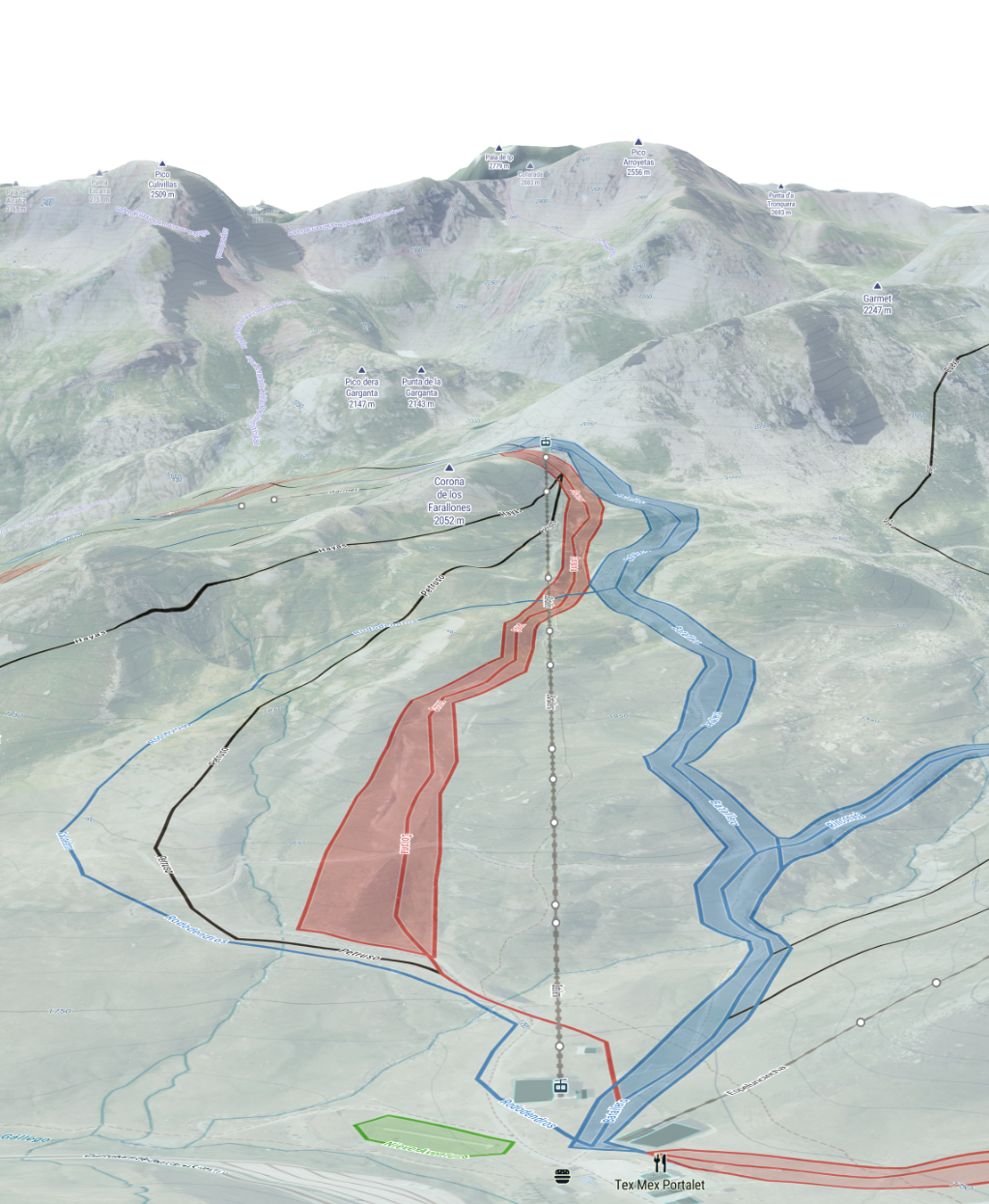
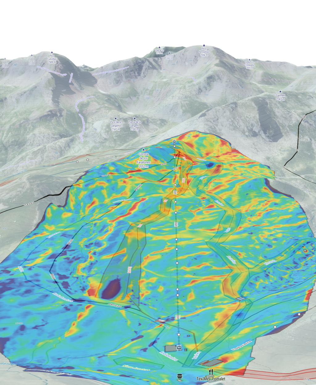
Slide or drag across the image to compare the raw terrain view with IVAQ Strata snow depth visualization.
Snow Depth Smooth scale
Season 26/27
A faster snow depth workflow for mountain operations.
IVAQ Strata is built for teams that need a practical way to visualize snow depth distribution across the resort without adding LiDAR hardware to the operation.
No LiDAR required
Snow depth insight from a simpler drone setup.
Measure snow depth with drones using an easier field workflow.
No extra hardware needed. IVAQ Strata uses the sensors already on-board the drone to generate snow depth visualization, without the need for LiDAR sensors.
Fleet-ready
Built for the DJI platforms you already use in the field.
Compatible with all DJI Enterprise platforms: Matrice 400, Matrice 4 series, M350, M30T and more.
In the case of the Matrice 4 series, with the use of the DJI Manifold 3 already installed for Finder mini, you can run your workflow even faster.
Fast and easy
Move from capture to snow coverage decisions faster.
Review terrain coverage visually directly in our webapp, accessible from all devices.
From drone capture to snow depth visualization, no post-processing needed at the office. Identify critical low-depth zones, and support planning with a practical workflow.
Pre-order registration
Secure your IVAQ Strata license for season 26/27.
Register below to secure priority access and obtain a 1000 EUR discount the first year.
Registering does not obligate you to purchase, but ensures you receive all the information about IVAQ Strata pre-order details.